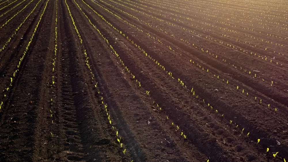
With the amount of rain we’ve received throughout Indiana, a good dry stretch is needed for many to get equipment back in the field. Unfortunately, Chief Meteorologist Ryan Martin isn’t confident that will happen in the near term.
“Most folks across northern Indiana say that with no rain from this point forward, we would need a good three to four days at least before they can even think about rolling into the fields. A lot are talking a little bit more than that, especially in northeast Indiana. Here’s the problem: over the course of the next 10 days I, at best, see two days between rain events and most of the time it’s less than that. We have way too much moisture coming in the next 10 days to two weeks.”
Martin’s forecast begins with the potential for a tenth to three quarters of an inch of rain Friday.
“I think we get by with a mostly dry Saturday, but clouds will hamstring evaporation a little bit through the day there. Sunday, we also are not going to be seeing super evaporation and drying mostly due to the fact that there’s plenty of moisture over the state. It’s humid and we can’t even rule out a few pop-up showers and maybe a rumble of thunder up in the northern half to northern third of Indiana.”
Showers and thunderstorms kick off next week in central and southern Indiana, but Martin won’t rule them out up north too.
“A big frontal boundary hits later Tuesday into early Wednesday. A secondary surge of moisture comes Wednesday night into Thursday. We are dry for Thursday afternoon through Friday and into Saturday. But when I say dry, we still can’t rule out some pop-up showers in there. And guess what? Sunday, the 12th, we have another frontal boundary developing in the western Corn Belt and Great Plains. It’s likely going to head towards us with moisture late Sunday or into Monday the 13th.”
Additional forecast details from Martin can be in your inbox Saturday morning if you sign up for the Hoosier Ag Today newsletter below now.


