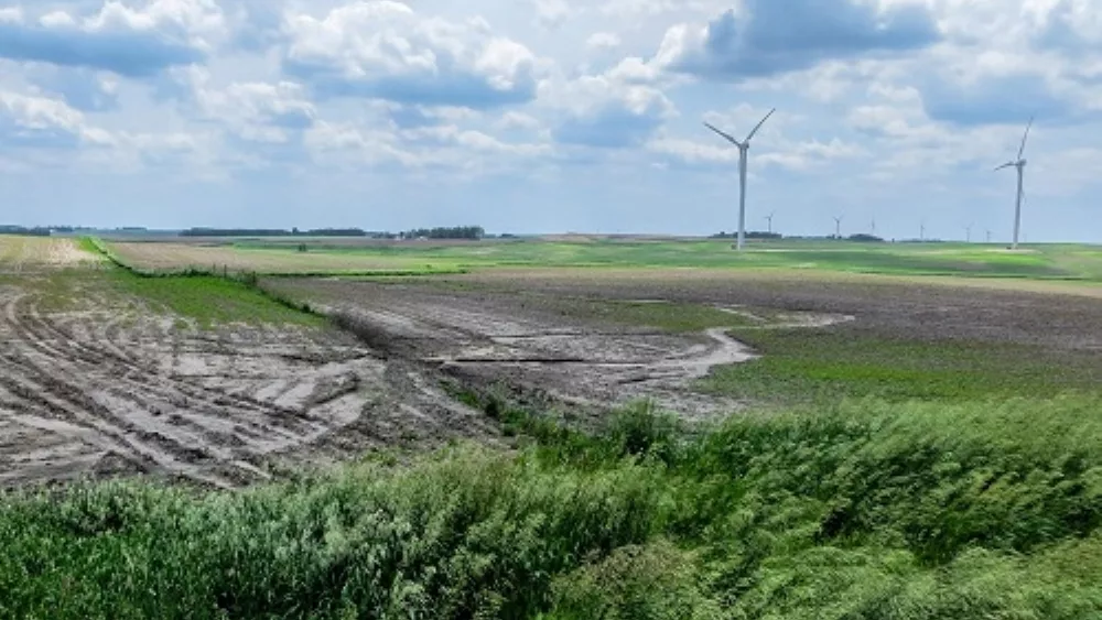
Chief Meteorologist Ryan Martin believes we still have too much moisture in the near-term forecast to get a whole lot done, but we might start to see some longer breaks in between those moisture events.
To close out this week and start the weekend, Martin says, “We’ll have to deal with a few hit and miss scattered showers overnight Friday night into Saturday morning, totaling a few hundredths to a few tenths. I then think we are dry for Saturday afternoon, Sunday and Monday.”
The next frontal boundary shows up in Martin’s forecast overnight Monday through Tuesday.
“At this point, showers and thunderstorms both can be part of that with quarter to three quarter inch rainfall totals. All activity should be done by Wednesday morning. We are dry then for the balance of Wednesday and into Thursday before another frontal boundary comes through late in the week, Thursday night and Friday, with only a few hundredths to a tenth or two out of that.”
And after weeks of hearing from Ryan, he might FINALLY have some good news for us. Let’s cross our fingers that this forecast for late next week holds true.
“As we get into Friday midday and afternoon, we’re seeing sunshine and blue sky. And looking back west, a massive high-pressure dome settles in over the Great Plains and Western Corn Belt, so I believe we’re going to put together a longer-term dry window from Thursday late afternoon/early Friday the 17th all the way through next weekend and into the following week. There could be four to five days back-to-back-to-back of dry weather that I believe is going to be our significant planting window that opens up here in the Hoosier State.”
Sign up to receive the Hoosier Ag Today daily newsletter below and receive Martin’s forecast details in your email inbox 6am Saturday morning.