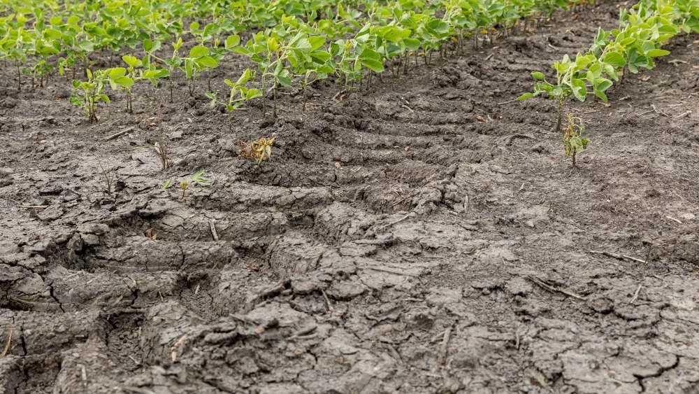
We have a few tweaks to the forecast this morning, but none of them are about today or tomorrow. We still have those days dry and warm. In fact, tomorrow we could see temps in the upper 80s up north and maybe even flirting with 90 degrees down south! It definitely will not feel like late September by any stretch of the imagination. This will continue to spur low relative humidity levels and excellent dry down. Harvest should be able to continue in most areas, as long as we don’t run out of crops that are ready!
We still have rain on the way for Friday. A cold front will sweep through the state from NW to the southeast. This will take some of the above normal temps and put them on the back burner. However, we do not see any major cold push right away. Precipitation still looks minor, but one tweak we are going to make will be to raise the upper end of our rain range. We still think there can be some areas that get no more than a few hundredths to a tenth or two, but for the upper bound of our rain expectations, we are moving totals closer to .4” or even half an inch. This is due to a concern that we may be able to see a few isolated thundershowers or a few cells along the front where there is just a little more convection. Most of these better rain chances will be in central Indiana as we move through Friday afternoon. Everything still should be done by midnight Friday night. Rain coverage will be 70%.
We are taking the weekend back to dry weather now. We should see sun dominate the state, and moisture looks to stay south of the Ohio River now on Sunday. This is another change, or tweak in our forecast this morning. We are not getting rid of the rain, but we are keeping it south for Sunday. Rains there will be part of a very strong storm complex that actually exits the central plains early in the weekend. It eventually does come out across the area.
So, the inevitability of that next system’s arrival brings it up into Indiana early Monday morning, before sunrise. From there we see rain continue through the day Monday, through Monday night, all day Tuesday and Tuesday night. Finally, all moisture clears out of the state by mid-morning Wednesday. So, we are pulling the rain forward another day in our forecast, but the rain totals stay basically the same. We like rain totals for the event of half to 1.5”. We won’t rule out some 2” potential, but right now we think thunderstorms that trigger those heaviest rains will stay south of the Ohio River and back west into parts of southern IL and MO earlier in the storm’s lifecycle. The map at right is a snapshot of potential action at midday on Monday.
 We go back to dry weather for the balance of the 10-day window, for Wednesday afternoon on through Friday. However, the biggest noticeable feature will be significantly cooler air. After the well above normal, summer-like temps that we have been dealing with recently, the second half of next week will feel sharply colder. Indeed, we expect temps to be somewhat below normal.
In the extended period, we start off with another strong system around the 2nd of October, and it also has half to 1.5” rain potential. But then we swing back and see the rest of the 11-16 day window dry out. Temps stay normal to slightly below through October 6th. Right now we think the potential for the first “light” frost may come around October 3rd…but we will monitor that as we move forward.